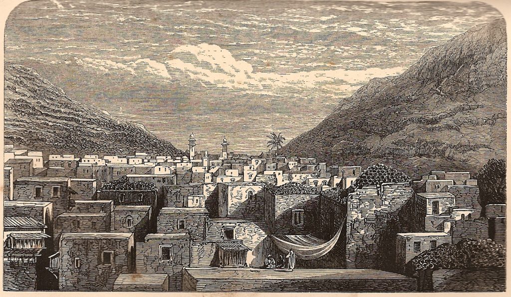
Today we will talk a bit about the geography of the Holy Land, as can be found in our weekly Torah portion:
“And when the LORD your God brings you into the land that you are entering to take possession of it, you shall set the blessing on Mount Gerizim and the curse on Mount Ebal.” (Deuteronomy 11:29)
‘Har Gerizim’ (הר גריזים) and ‘Har Eival’ (הר עיבל)– as they are known in Hebrew (‘Har’ means ‘Mount’) are located on both sides of the city of ‘Shechem,’ (שכם) which is known in other languages as ‘Nablus,’ in the Samaria region, about 50 kilometers north of Jerusalem.

‘Shechem’ (‘Nablus’) is an ancient city previously mentioned in the Book of Genesis in the story of Abraham:
“Abram passed through the land to the place at Shechem, to the oak of Moreh.” (Genesis 12:6)
‘Shechem’ is also known in history as the city of the Samaritans – an ancient religious and ethnic group which resided there since biblical times. The meaning of the word ‘Samaritans’ is ‘keepers’ or ‘guardians’ (‘Shomerim’ {שומרים}in Hebrew) and refers to the way they see themselves as the keepers/guardians of the Torah.
The Samaritans speak an ancient Hebrew dialect and believe that the most sacred place in the Holy Land is ‘Mount Gerizim’ (and not the ‘Temple Mount’ in Jerusalem, which is the most sacred place to Judaism). The meaning of the Hebrew name of the city – ‘Shechem’ – is ‘upper back’ and it is called by this name because it lies between the two Biblical mountains: Mount Gerizim and Mount Ebal.
The foreign name of the city – ‘Nablus’ – comes from the Greek name of the city ‘Neopolis’ which means ‘the new city (‘Neo’ – ‘new’ and ‘Polis’ – ‘city’). However, since there is no ‘P’ sound in Arabic and ‘P’ is pronounced as ‘B’ (in most cases), the name of the city became ‘Nablus’ over the years.
